Wyandotte County is under a winter storm warning through 6 p.m. Saturday, according to the National Weather Service.
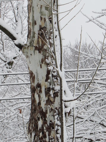
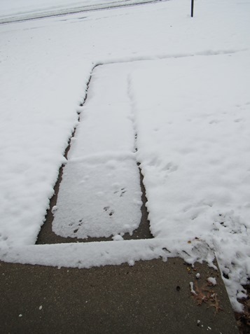
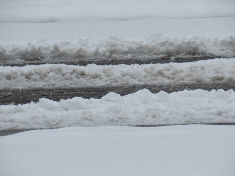
Snow fell on Friday and overnight, resulting in at least 3 to 5 inches of snow in Wyandotte County.
It was 32 degrees at 11 a.m. Saturday in Wyandotte County, the weather service said.
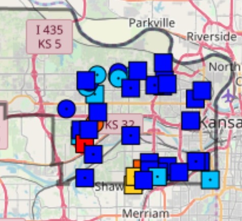
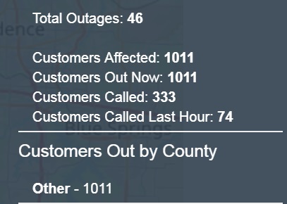
The Board of Public Utilities’ outage map showed 1,011 customers without power in Kansas City, Kansas, around 11:15 a.m. Saturday.
Snow is possible again before 3 p.m., then likely mixed with freezing drizzle between 3 p.m. and 5 p.m., followed by a chance of snow after 5 p.m., the weather service said.
The high today will be near 31 with a north northeast wind of 11 mph. Little to no ice accumulation is expected. Another 2 to 4 inches of snow is possible during the daytime Saturday.
Tonight, there is a 40 percent chance of snow and freezing drizzle before 10 p.m., then a slight chance of snow between 10 p.m. and 1 a.m., according to the weather service. The low will be around 28 with a north wind of 9 to 11 mph. Less than a tenth of an inch of snow is possible overnight.
Sunday, it will be cloudy, with a high near 32 and a north wind of 6 to 9 mph, according to the weather service.
The high will be 36 on Monday and 44 on Tuesday.
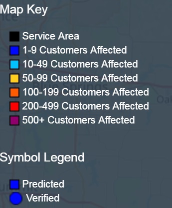
When showing a map it would be beneficial to see the key so you can interpret it.