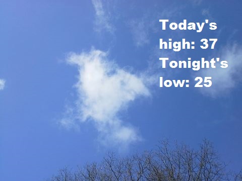
Temperatures will reach a high of only 37 today, as a cloud cover is moving into the region from the southwest, according to the National Weather Service.
Some light snow may be possible north of the Kansas City area, with a slight chance for light freezing drizzle in central and north central areas of the state. However, there is no precipitation in the forecast for the Kansas City metropolitan area today.
Temperatures will warm to the mid-40s on Thursday and low 50s on Friday before turning colder on Friday night, New Year’s Eve, the weather service said. The coldest temperatures of the season so far will arrive.
Rain, snow and freezing rain is possible New Year’s Eve, with a low in the teens, according to the weather service.
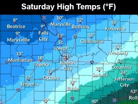
On Saturday, New Year’s Day, there is a chance of snow, with a high of 19, the weather service said.
Today, it will be mostly cloudy, with a high near 37, the weather service said. An east northeast wind of 6 to 10 mph will gust as high as 20 mph.
Tonight, it will be mostly cloudy, with a low around 25, according to the weather service. A northeast wind of around 6 mph will become calm in the evening.
Thursday, it will be mostly cloudy, then gradually sunny, with a high near 45, the weather service said. A calm wind will become south southwest 5 to 7 mph in the afternoon.
Thursday night, it will be partly cloudy, with a low of 34 and a south wind of 6 mph, according to the weather service.
Friday, it will be partly sunny, with a high near 52, the weather service said. A south wind of 6 to 8 mph will become north in the afternoon.
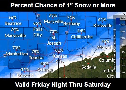
Friday night, New Year’s Eve, there is an 80 percent chance of rain, snow and freezing rain before midnight, then snow, possibly mixed with freezing rain, according to the weather service. The low will be around 17. Between a quarter and half-inch of precipitation is possible.
Saturday, New Year’s Day, there is a 40 percent chance of snow, the weather service said. It will be mostly cloudy, with a high near 19.
Saturday night, it will be mostly cloudy, with a low of 2, according to the weather service.
Sunday, it will be sunny, with a high of 28, according to the weather service.
Sunday night, it will be mostly clear, with a low of 18, according to the weather service.
Monday, it will be sunny, with a high near 43, the weather service said.
Monday night, it will be mostly clear, with a low of 29, according to the weather service.
Tuesday, it will be mostly sunny, with a high near 47, the weather service said.
For more weather information, see www.weather.gov.