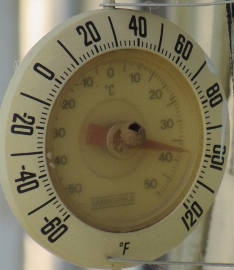

Today’s high could be 102 in Wyandotte County, with a heat index of 108, according to the National Weather Service forecast.
A heat advisory remains in effect until 8 p.m. Sunday, the weather service said.
Heat illnesses are possible, and the weather service urged residents to take precautions. Residents should drink plenty of fluids, stay in an air-conditioned room, stay out of the sun and check on relatives and neighbors, according to the weather service.
Young children and pets should not be left unattended in a vehicle.
Those who work or spend time outside should take extra precautions. If possible, reschedule strenuous activities to early morning or evening, according to the weather service.
Wear lightweight and loose-fitting clothes when possible. Those outdoors should schedule frequent rest breaks in shaded areas or air-conditioned rooms. Anyone overcome by heat should be moved to a shaded or air-conditioned area, and if it is heat stroke, call 911.
Rain and thunderstorm chances will increase Sunday into Monday, with more chances for rain throughout the week, according to the weather service.
A break in the 90-degree heat is possible next week, the weather service said.
Today, it will be sunny and hot, with a high near 102, the weather service said. The heat index could be as high as 108. A south southwest wind of 14 to 16 mph will gust as high as 25 mph.
Tonight, there will be increasing clouds, with a low of 80, according to the weather service. A south wind of 10 to 15 mph will gust as high as 28 mph.
Sunday, there is a 20 percent chance of showers, with thunderstorms also possible after 1 p.m., the weather service said. The high will be near 92 with a heat index as high as 99. A southwest wind of 8 mph will become north northeast in the afternoon. Winds may gust as high as 20 mph.
Sunday night, there is a 60 percent chance of showers and thunderstorms, then showers are likely and possibly a thunderstorm after 1 a.m., according to the weather service. The low will be around 71, with an east northeast wind of 6 to 8 mph.
Monday, there will be a 40 percent chance of showers and thunderstorms, mainly before 1 p.m., the weather service said. The high will be near 84 with an east wind of 6 to 10 mph, gusting as high as 20 mph. Between a tenth and quarter-inch of rain is possible.