Temperatures may rise to 89 today

After some fog this morning, the skies will be mostly sunny with a high near 89, according to the National Weather Service.

Thunderstorm chances may return to the area by early next week, the weather service said.

Temperatures will be in the high 80s through Thursday, then in the 90s from Friday through Monday, according to the forecast.

Today, it will be mostly sunny with a high near 89 and a calm wind, the weather service said.

Tonight, the low will be around 71 with a calm wind, according to the weather service.

Thursday, it will be mostly sunny, with a high near 89, the weather service said. The heat index will be as high as 95. A calm wind will become south southeast around 5 mph in the afternoon.

Thursday night, it will be partly cloudy, with a low of 73 and a southeast wind around 5 mph becoming calm in the evening, according to the weather service.

Friday, it will be mostly sunny, with a high near 90, the weather service said. A calm wind will become south 5 to 7 mph in the morning.

Friday night, it will be mostly clear, with a low of 74, according to the weather service.

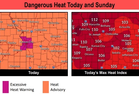
Saturday, it will be mostly sunny, with a high near 91, the weather service said.

Saturday night, it will be mostly clear, with a low of 75, according to the weather service.

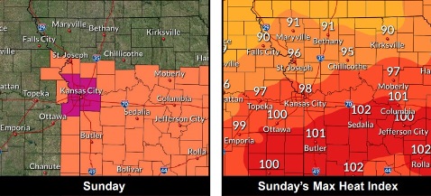
Sunday, it will be sunny with a high near 92, the weather service said.

Sunday night, it will be partly cloudy, with a low of 75, according to the weather service.

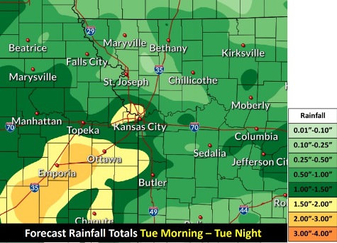
Monday, there is a 40 percent chance of showers and thunderstorms, with a high near 90, the weather service said.

Monday night, there is a 40 percent chance of showers and thunderstorms, with a low of 70, according to the weather service.

Tuesday, there is a 40 percent chance of showers and thunderstorms, with a high near 86, the weather service said.

Showers, storms in forecast

From 1.5 to 2 inches of rain is possible today and tonight, according to the National Weather Service. (National Weather Service graphic)

There is a 60 percent chance of showers and thunderstorms today, mainly before 10 a.m., according to the National Weather Service.

Another round of showers and storms could develop during the evening and overnight hours, the weather service said.

The primary concerns will be heavy rain and potential flooding, especially in areas where the ground is already saturated, according to the weather service. There may be flash flooding concerns.

Today, the high will be near 84, with showers and thunderstorms likely before 10 a.m. A calm wind will become west southwest around 5 mph. Between a half and three-quarters of an inch are possible.

Tonight, there is a 10 percent chance of showers and thunderstorms before 7 p.m., according to the weather service. The low will be around 70 with a calm wind.

Wednesday, there will be a 20 percent chance of showers and thunderstorms before 1 p.m., the weather service said. The high will be near 89 with a light south southwest wind.

Wednesday night, the low will be around 72 with a calm wind, according to the weather service.

Thursday, there is a 30 percent chance of showers and thunderstorms, with a high near 90, the weather service said. A calm wind will become south around 6 mph in the afternoon. Less than a tenth of an inch of rain is expected.

Thursday night, it will be partly cloudy with a low of 74, according to the weather service.

Friday, it will be mostly sunny, with a high near 91, the weather service said.

Friday night, it will be partly cloudy, with a low of 75, according to the weather service.

Saturday, it will be sunny with a high near 92, the weather service said.

Saturday night, it will be mostly clear, with a low of 75, according to the weather service.

Sunday, it will be sunny, with a high near 93, the weather service said.

Sunday night, it will be partly cloudy, with a low of 75, according to the weather service.

Monday, it will be partly cloudy, with a high near 93, the weather service said.

Wyandotte County under excessive heat warning

Wyandotte County is under an excessive heat warning through 9 p.m. Sunday. (National Weather Service graphic)
Today’s heat index could be as high as 107. (National Weather Service graphic)
Sunday’s heat index could be as high as 97. (National Weather Service graphic)
A south southwest wind may gust as high as 28 mph today. (National Weather Service graphic)

Wyandotte County is under an excessive heat warning, in effect through 9 p.m. Sunday, July 19, according to the National Weather Service.

Today’s heat index values could be as high as 107, the weather service said.

Tonight’s low will be above 75, providing little relief. It is essential to check on family members and elderly neighbors to make sure they are staying cool, according to the weather service.

Storms are possible this weekend, particularly on Sunday afternoon and evening, the weather service said. The main concerns will be wind gusts and small hail.

Thunderstorm chances increase Sunday night into early next week, according to the weather service.

Today, the high will be near 96 with a heat index as high as 107, the weather service said. A south southwest wind of 9 to 18 mph will gust as high as 28 mph.

Tonight, it will be partly cloudy with a low of 75 and a south southwest wind of 10 to 17 mph, gusting as high as 25 mph, according to the weather service.

Sunday, there is a 20 percent chance of showers and thunderstorms after 1 p.m., the weather service said. The high will be near 92 with a heat index as high as 97. A west southwest wind of 5 to 8 mph will become northwest in the afternoon.

Sunday night, there is a 60 percent chance of showers and thunderstorms, mainly after 1 a.m., with a low of 71, according to the weather service. Between a half and three-quarters of an inch of rain is possible.

Monday, there is a 60 percent chance of showers and thunderstorms, mainly before 1 p.m., the weather service said. The high will be around 86 with a light east wind. Between a half and three-quarters of an inch of rain is possible.

For more weather information, visit www.weather.gov.