Quindaro Townsite project to receive technical assistance from National Park Service

A view from the Quindaro Overlook at the Quindaro Ruins in northeast Kansas City, Kansas. It is the site of an abandoned pre-Civil War town. (File photo by Mary Rupert)

by Mary Rupert

The Quindaro Townsite National Commemorative Site in Kansas City, Kansas, received a boost on Wednesday with the announcement that technical assistance would be provided by the National Park Service.

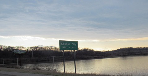
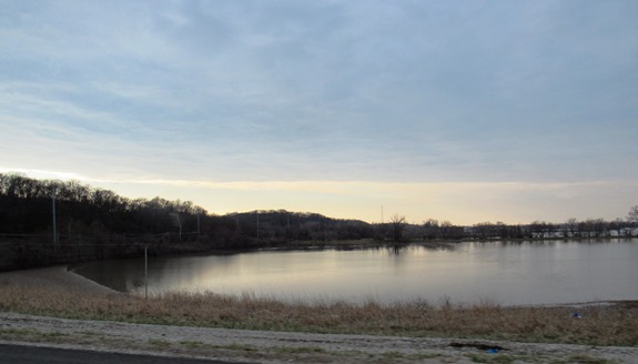
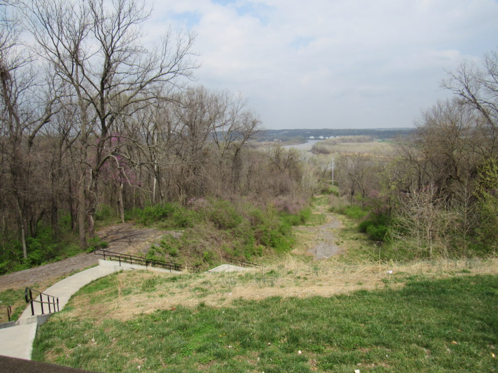
The Quindaro Townsite is a pre-Civil War town on the Missouri River in northeast Wyandotte County that was home to abolitionists, workers and shopkeepers, and was a stop on the Underground Railroad.

Jim Ogle, executive director of Freedom’s Frontier National Heritage Area, said the technical assistance will provide National Park Service staff to work with different groups on various facets of the Quindaro Townsite project.

This may include working with those interested in the development of a visitors’ center, to archaeological digs, to developing trails, to putting a price tag on projects and finding out what it would take to build trails, Ogle said.

They also could work to engage a community that may not want to attend meetings to make sure they are included.

“We have a lot of community stakeholders who have a lot of different ideas and dreams about what can be accomplished, not only in the footprint of the national commemorative site, but in the area immediately surrounding it,” Ogle said.

Starting with the Rivers, Trails and Conservation Assistance office of the National Park Service, staff will be able to draw on and bring into play resources and participants to move the Quindaro project forward, according to Ogle.

The RTCA staff will help with planning and holding workshops and forums to gain public participation in the plans for the site and trails.

He said National Park Service staff has already been working with groups of stakeholders in an effort to delineate and organize priorities for this project.

“That process is moving forward with representatives of about 65 different organizations who have decided to participate,” Ogle said. “It isn’t a closed room,” he added. Anyone who wants to participate may contact him to be included. His email address is [email protected], and his phone number is  785-856-3635. 

The technical assistance started Oct. 1 and will continue through Sept. 30, 2020, he said, with options to continue the effort.

Ogle said Freedom’s Frontier may use the park service’s technical assistance program, which is an in-kind match, as a way to seek additional grant support.

“Getting in-kind matches is the next best thing to having cash in your pocket already,” he said.

Recently there was an effort to raise funds to fix the roof of the Old Quindaro Museum, which will probably need considerably more money to stabilize the structure, he said.

If, for example, (in a hypothetical example) they wanted to raise a half-million dollars to stabilize the Vernon Multi-Purpose Center as a visitors’ center, help stabilize the Old Quindaro Museum and make the AME church nearby visitor friendly, they could go to a major funder and ask for donations, he said.

The funder would probably ask what other resources they have, and the technical assistance from the Park Service will be part of the list they give them, he said.

Ogle said he hopes they can get some donations from major corporations and philanthropic partners, and there are significant ones in the Kansas City metropolitan area that they need to show a plan to, and show that there is momentum in the project, which would make it more feasible for them to join the effort.

Many projects now have several sources of funding, for example, some funds from the state, some from the local government and some from private donations, he added.

The grant announcement on Wednesday contained support from U.S. Sen. Pat Roberts, U.S. Sen. Jerry Moran and U.S. Rep. Sharice Davids.

Fire heavily damages KCK restaurant

The Kansas City, Kansas, Fire Department is investigating a fire overnight at Captain D’s restaurant, 7525 State Ave., Kansas City, Kansas, that caused more than $500,000 damage. The cause of the fire is undetermined at this time.

A fire at Captain D’s restaurant, 7525 State Ave., caused more than $500,000 damage overnight.

The cause of the fire, reported at 12:34 a.m. March 26, is undetermined and is under investigation, according to a spokesman for the Kansas City, Kansas, Fire Department.

Crews arriving at the fire reported heavy smoke and flames showing from the side of the one-story restaurant.

Initially, crews fought the fire with an interior attack, the spokesman stated. Eventually all crews went into a defensive mode, and the fire was fought with elevated streams.

The estimated dollar loss was $336,000 to the property and $200,000 to the contents, the spokesman stated.

There were no injuries in this fire, according to the spokesman.

Flood waters could remain in fields here a little longer

K-5 at Hutton Road was closed to through traffic because of flooding on Monday evening. Wolcott Drive is about a block north of this road closure sign, and that street, which is also K-5, is closed to 107th. The former Thunderlake Speedway, 5501 Wolcott Drive, a former go-kart track to the left, has flooded. The go-kart track has been closed for some years. Lakeside Speedway at 5615 Wolcott Drive flooded on Saturday, along with some other businesses on Wolcott Drive.
A road closed sign at 93rd Street, east of I-435.

Flood waters from the Missouri River could remain in Wyandotte County fields a little longer, as water releases have been stepped up from reservoirs upstream and rain is in the forecast for Kansas City and the river basin area.

With melted snow upstream entering the Missouri River basin area, the reservoirs upstream will be releasing more water into the river, according to Corps of Engineers officials.

The Corps of Engineers is stepping up water releases from the Gavins Point dam in South Dakota to 27,000 cubic feet per second today, and 30,000 cubic feet per second on Tuesday, Wednesday and Thursday, according to officials at a news conference today. This plan was changed from Sunday’s announcement.

There is currently major flooding on the James River upstream in the Dakotas, and water from the James and the Big Sioux rivers have an effect on the Missouri River.

A strong storm system is currently in the weather forecast from Thursday through Sunday, according to a National Weather Service forecaster.

About 1.5 inches of rain is expected to fall across northeast Kansas and northern Missouri, as well as some additional rainfall to the north.

If the rain falls as expected, some cities could receive 1.5 to 3 feet rises in the river, and the Missouri River at St. Joseph, Missouri, could rise 5 feet on Monday, according to the forecaster.

Thursday’s projected rain amounts will not show up in the National Weather Service river level forecasts until Tuesday, according to the National Weather Service forecaster, as there are only two days of anticipated precipitation included in each river level forecast. By Friday evening, the entire storm should be included in the river level forecasts, he said.

By the weekend, Corps officials and forecasters believe that the rivers will be substantially lower than they crested this past weekend. When the rivers rise next Monday, the main effect is that water will be on the levees for a longer time, according to Corps officials. With the longer time, the levees could become more susceptible to issues such as seepage or sand boils, according to officials.

To check on roads affected by flooding, visit KanDrive.org at http://www.kandrive.org/kandrive/roads/#construction/K-5/-96.0040/38.7201/7.

The former Thunderlake Speedway at Hutton Road and K-5 has flooded. The former go-kart track has not been open for several years.
Another view of the former Thunderlake Speedway at Hutton Road and K-5.
Another road that was closed was 93rd Street near Wolcott Road.
Fields to the east of I-435 in Wyandotte County were flooded on Monday evening. The flooding occurred on Saturday.
A billboard in a flooded field next to I-435 in Wyandotte County reads, “Grab a scoop.”
More flooded fields along I-435 in Wyandotte County were seen on Monday evening.
Flood waters covered fields next to I-435 in Wyandotte County on Monday evening.
Flooded fields next to I-435 in Wyandotte County on Monday evening.
The Missouri River, looking east, on Monday evening.
Flooded fields to the west of I-435 in Wyandotte County on Monday evening.