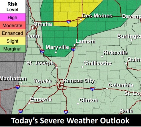
Scattered thunderstorms are possible late this morning into the afternoon, according to the National Weather Service.
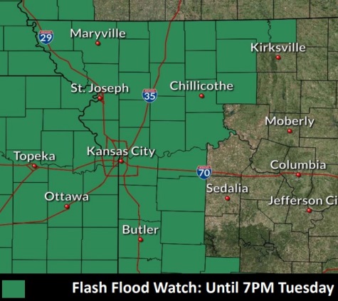
A flash flood watch is in effect through 7 p.m. Tuesday night, the weather service said. The rapid rise of rivers, streams and low water crossings is possible, the weather service said, and roadways could become flooded.
Residents should monitor weather forecasts and be prepared to take action if flash flood warnings are issued, as it can be dangerous, according to the weather service.
In Wyandotte County, there is a 70 percent chance of precipitation, and some of the storms could produce heavy rain, the weather service said.
Rain will be in the forecast through Thursday night.
Today, there is a 70 percent chance of showers and possibly a thunderstorm before 2 p.m., then a chance of showers and thunderstorms after 2 p.m., the weather service said. Some of the storms could produce heavy rain. The high will be near 73 with an east southeast wind of 10 to 13 mph, becoming south southwest in the afternoon. Winds may gust up to 21 mph. New rainfall amounts between a quarter and half-inch of rain are possible.
Tonight, there is a 40 percent chance of showers and thunderstorms, with a low around 60, according to the weather service. A west southwest wind of 5 to 10 mph will gust as high as 18 mph. Less than a tenth of an inch of rain is expected.
Wednesday, there is a 50 percent chance of precipitation after 10 a.m., with a high near 76 and a southwest wind of 3 to 6 mph, the weather service said. Less than a tenth of an inch of rain is expected.
Wednesday night, there is a 40 percent chance of showers and thunderstorms, with a low of 64, according to the weather service. Less than a tenth of an inch of rain is expected.
Thursday, there is an 80 percent of showers and possibly a thunderstorm, with a high near 75, the weather service said. A calm wind will become north around 6 mph in the afternoon. Between a half and three-quarters of an inch of rain is possible.
Thursday night, there is a 30 percent chance of showers and thunderstorms before 1 a.m., with a low of 59, according to the weather service. Less than a tenth of an inch of rain is expected.
Friday, it will be sunny with a high near 74, the weather service said.
Friday night, it will be mostly clear with a low of 55, according to the weather service.
Saturday, it will be sunny, with a high near 74, the weather service said.
Saturday night, it will be mostly clear, with a low of 57, according to the weather service.
Sunday, it will be sunny, with a high near 77, the weather service said.
Sunday night, it will be mostly clear, with a low of 62, according to the weather service.
Monday, it will be mostly sunny, with a high near 82, the weather service said.