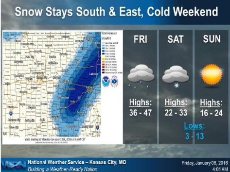
The main part of a snowstorm predicted for Saturday apparently has moved to the east of Wyandotte County, according to a National Weather Service map.
However, snow is still a possibility after 10 p.m. tonight and on Saturday, according to the weather service.
Today, rain is likely before noon, then a slight chance of rain after 3 p.m., the weather service said. The high will be 42, with a west northwest wind of 7 to 10 mph.
Tonight, there is a chance of rain before 10 p.m., followed by another chance for rain and snow between 10 p.m. and 1 a.m., then a chance of snow after 1 a.m., according to the weather service. The chance of precipitation tonight is 30 percent. The low will be around 27.
A strong cold front will move through the area Saturday and be capable of producing snow showers or flurries; however, no accumulation is expected, the weather service said.
On Saturday, the chance of precipitation is 20 percent, and it’s possible that there is a slight chance of snow before noon, according to the weather service. Temperatures will fall to around 21 by 5 p.m.
Very cold temperatures are expected behind the cold front Saturday night when lows will drop into the single digits and lower teens with wind chill values in the single digits to lower teens below zero, the weather service said.
Saturday night, the low will be around 11, and the wind chill index is expected to be between minus 3 and 6, according to the weather service. Winds will be 13 to 16 mph with gusts as high as 23 mph.
Sunday will remain cold with highs in the mid-teens to lower 20s, according to the weather service. In Wyandotte County the predicted high will be 23. Sunday night’s low will be about 17.
Monday’s high will be near 38, the weather service said.