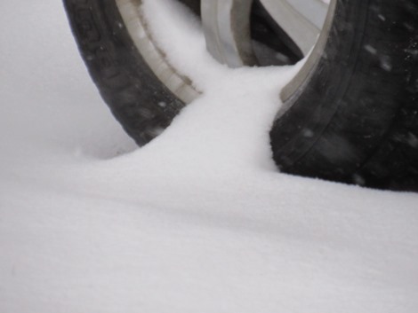
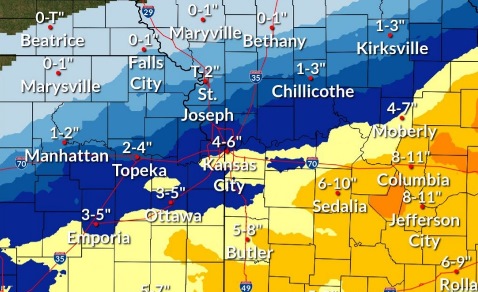
Around 2 inches of snow fell in parts of Wyandotte County overnight, with snow continuing to fall through the morning hours.
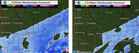
According to the National Weather Service, the snow will continue to fall through about noon Wednesday.
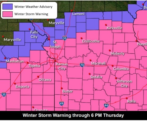
A second round of snow is possible in the region from Wednesday evening to midday Thursday, but this second round is likely to avoid the Kansas City metro area and to the north, the weather service said.
Wyandotte County remains under a winter storm warning until 6 p.m. Thursday, the weather service said.
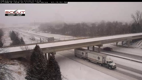
Hazardous travel is likely throughout the Kansas City area and region, according to the weather service. The weather service advised people to stay home.
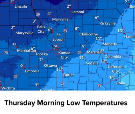
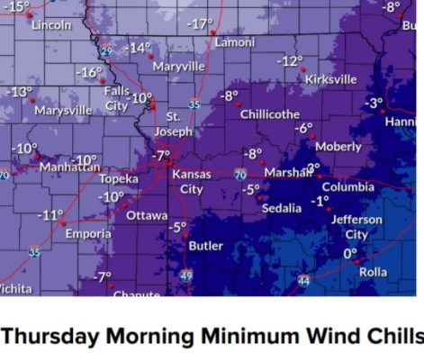
Significant cold temperatures are in the forecast for the end of the week, the weather service said. The wind chill today will be between zero and 6. The wind chill tonight will be between minus 5 and 4. On Thursday, the wind chill will be between minus 8 and 2. Thursday night, the low will be around 3. On Sunday, temperatures could reach 41.
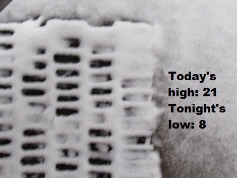
Today, there is a 70 percent chance of precipitation, with snow likely before noon, the weather service said. There will be patchy blowing snow before 10 a.m. The high will be near 21 with a wind chill of zero to 6. A north northeast wind of 14 to 16 mph will gust as high as 25 mph. Total daytime snow accumulation of less than 1 inch is possible.
Tonight, there is a 30 percent chance of snow, mainly between 8 p.m. and 5 a.m., with a low of 8, according to the weather service. The wind chill will be between minus 5 and 4. A north northeast wind of 14 mph will gust as high as 23 mph.
Thursday, there is a 20 percent chance of snow before noon, with a high near 19, the weather service said. The wind chill will be between minus 8 and 2. A north northeast wind of 10 to 15 mph will gust as high as 22 mph.
Thursday night, it will be partly cloudy, with a low of 3, according to the weather service. A north northeast wind of 5 to 7 mph will become calm after midnight.
Friday, it will be sunny, with a high near 30, the weather service said. A calm wind will become west southwest 5 to 8 mph in the morning.
Friday night, it will be mostly clear, with a low of 12, according to the weather service.
Saturday, it will be sunny, with a high near 36, the weather service said.
Saturday night, it will be mostly clear, with a low of 20, according to the weather service.
Sunday, it will be mostly sunny, with a high near 41, the weather service said.
Sunday night, it will be partly cloudy, with a low of 17, according to the weather service.
Monday, it will be sunny, with a high near 42, the weather service said.
Monday night, it will be mostly clear, with a low of 27, according to the weather service.
Tuesday, it will be sunny, with a high near 50, the weather service said.