Scattered thunderstorms are possible Friday, according to the National Weather Service.
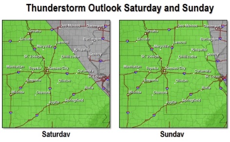
A stalled frontal boundary across southern Missouri, combined with a system lingering over the southwestern United States, will keep a persistent chance for thunderstorms in the region each of the days through the Memorial Day weekend.
These storms likely will be scattered in nature, but given the persistent warm and humid conditions, strong to even severe storms can’t be ruled out.
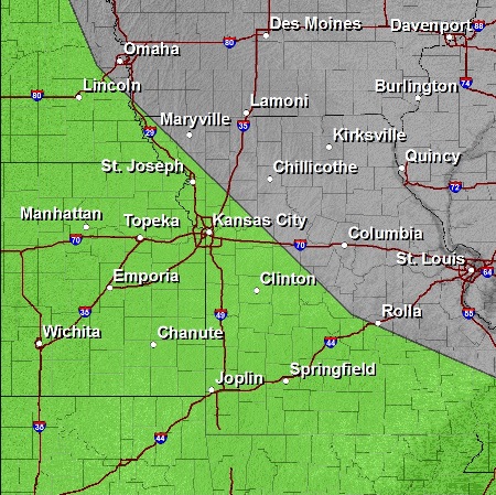
An outflow boundary from morning storms may allow redevelopment later this afternoon along a line from Wichita to Clinton and Rolla. This corridor has the highest potential for strong to severe storms later today. Further north, elevated storms may pulse up and down but will remain under severe limits.
Non-severe storms are anticipated into this weekend, with the highest potential tonight through midday Saturday. Rain will be scattered in nature, and not all areas will see rain, according to the weather service.
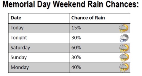
Friday’s high will be 78, with a 20 percent chance of rain. Saturday, the high will be 77, with a 60 percent chance of storms. Sunday, the high will be 82 with a 40 percent chance of storms, and Monday, Memorial Day, the temperature will reach 82 with a 40 percent chance of storms.