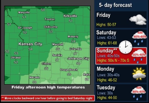
Temperatures will undergo large swings over the next few days as a series of fronts move through the area, according to the National Weather Service.
Despite some passing rain showers, Saturday and Sunday should bring some nice temperatures before a more prolonged period of below normal temperatures early to mid-next week, forecasters said.
Today, expect temperatures to rise to a high of 52, with patchy drizzle after 4 p.m., the weather service said. There will be an east northeast wind of 7 to 10 mph.
Tonight, there will be areas of drizzle and patchy fog after 1 a.m., with a low of 48, according to the weather service. An east wind of 6 mph will become calm in the evening.
Saturday, expect areas of fog before 10 a.m., the weather service said. The high will be near 64 with a south southwest wind of 3 to 6 mph.
Saturday night, it will be mostly cloudy with a low of 55, according to the weather service, and a south wind of 3 to 8 mph.
Sunday, it will be partly sunny with a high near 66, the weather service said. There will be a south southwest wind of 7 to 9 mph becoming north northwest in the afternoon.
Sunday night, the low will be around 39 with mostly cloudy skies, according to the weather service.
Monday, the high will be near 49 with partly sunny skies, the weather service said.
Monday night, skies will be mostly cloudy with a low of 37, according to the weather service.
Tuesday, the high will be near 47, with a 30 percent chance of showers after 1 p.m., the weather service said.
Tuesday night, the low will be around 33 with mostly cloudy skies, according to the weather service.
Wednesday, the high will be near 48 with mostly sunny skies, the weather service said.