An unsettled weather pattern has begun and lasts through Wednesday, according to the National Weather Service.
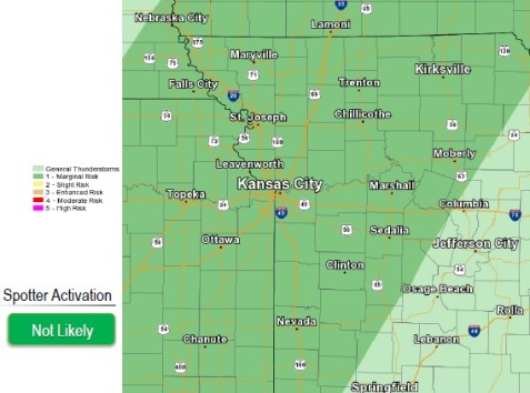
There is a chance for hit-and-miss severe storms this afternoon in the region, according to the weather service.
There are better storm chances Tuesday and Wednesday. There is a chance for strong storms producing hail, gusty winds, heavy rainfall and dangerous lightning on Tuesday, according to the weather service.
Today, Memorial Day, the high is expected to be near 85, the weather service said. There is a 30 percent chance of showers and thunderstorms, mainly after 4 p.m. today.
Tonight, the low will be 63, and there is a 30 percent chance of thunderstorms and showers, according to the weather service.
Tuesday, the high will be near 78, with a 70 percent chance of showers and thunderstorms after 7 a.m., according to the weather service.
Tuesday night, the low will be around 61, with a 70 percent chance of rain and storms, according to the weather service.
Wednesday, expect a 30 percent chance of shower snad thunderstorms before 1 p.m., the weather service said. The high will be near 76.
Wednesday night, the low will be around 55.
The weather clears up for Thursday through Sunday, with highs in the higher 70s through mid-80s, according to the weather service.