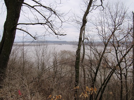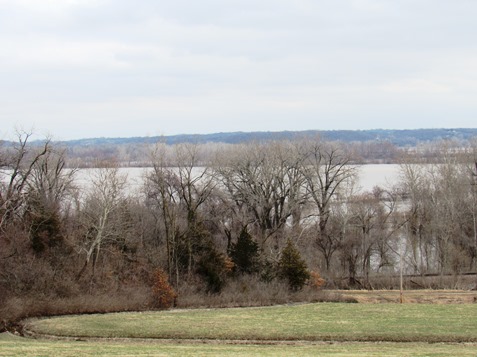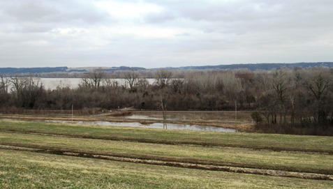
As Missouri River water levels are declining on Sunday in Wyandotte County, water is expected to remain for some time in fields at Wolcott and at other locations on the river in Wyandotte County.
Local officials said on Saturday that flood water could remain in the fields for perhaps a week or two, depending on how much more water is released into the Missouri River and also on how much it rains upstream.
Local officials on Saturday said they were not aware of any residences here affected by the flood; some Wolcott businesses were flooded, and Wolcott Drive was closed to traffic.
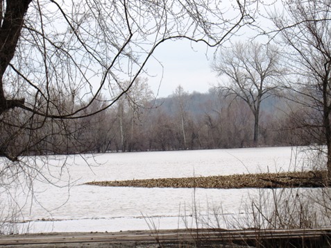
Local officials said flooding also was reported at Nearman Creek in Kansas City, Kansas. There also was high water at the Lewis and Clark statue in Kaw Point Park on Fairfax Trafficway in Kansas City, Kansas.
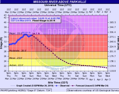
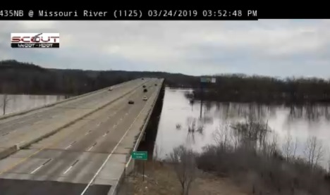
The Missouri River at Wolcott in Wyandotte County was still in the moderate stage on Sunday, and hydrology charts predicted it would go into minor flood stage on Tuesday and out of flood stage on Wednesday night. The river level was 34.69 feet on Sunday afternoon at this location.
Since that reading on Sunday afternoon, this river level increased to 34.76 feet at 7:45 p.m. Sunday.
Corps of Engineers officials today said in a news conference that they plan to hold water releases at Gavins Point dam in South Dakota at the present 24,000 cubic feet per second as long as conditions allow. Corps officials said today that they plan to increase the Gavins Point water releases to 30,000 cfs late next week.
Fort Randall, South Dakota, dam water releases will be 8,000 cfs today and Monday, according to Corps officials, which was down from the 12,000 cfs that had been announced on Saturday.
In a news release tonight, the Corps announced a change. It stated that it will increase releases from Gavins Point dam to 27,000 cfs on Monday, March 25, from the current 24,000 cfs.
The water releases may change according to water coming into the system upstream from snow melting and also from rain, according to officials.
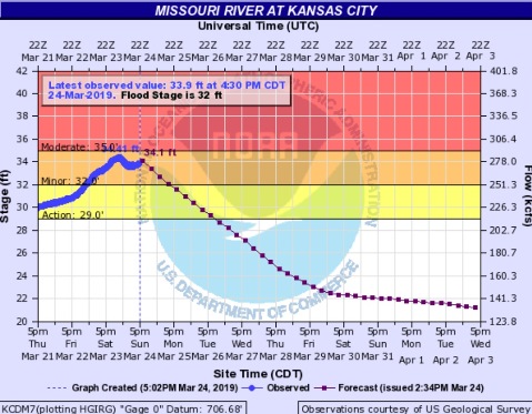
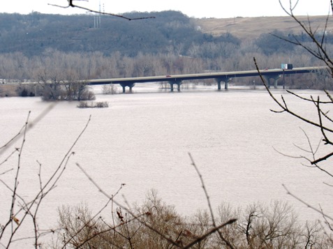
A National Weather Service forecaster said there is still major flooding in the St. Joseph, Missouri, to Leavenworth, Kansas, area. The crest moved through the Kansas City area around 1 a.m. Sunday, is currently at Napoleon, Missouri, and is expected to be in Jefferson City, Missouri, on Tuesday and to the mouth of the river on Wednesday or Thursday.
There is flooding currently on the Big Sioux and James rivers that flow into the basin, with melting snow. This water could result in a one-foot rise on the Missouri River, perhaps in another week, according to the weather service forecaster.
There also is rain in the forecast over the basin area. Rain is possible in Kansas City from Wednesday night through Saturday, according to the weather forecast.
To check on roads affected by flooding, visit http://www.kandrive.org/kandrive/roads/#construction/K-5/-96.0040/38.7201/7.