There will be another very cold morning in Wyandotte County today, according to the National Weather Service.
At 8 a.m., the temperature was 6 degrees, with a wind chill value of minus 5, the weather service said. The wind was southwest at 6 mph.
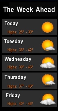
But today, the temperature will rise to a high of 29, with sunny skies, according to the weather service. Wind chill values will be between minus 3 and 7, with a south southwest wind of 5 to 9 mph. Tonight, the low will be around 17.
Looking ahead to Saturday, Christmas Eve, and Sunday, Christmas Day, there is a chance of snow, the weather service said. The chance of precipitation is 60 percent on Saturday night, with a low of 34, and at this time the area could get both rain and snow. On Christmas Day, there is a 50 percent chance of rain and snow, with a high near 39, according to the weather service.
On Tuesday, Dec. 20, the forecast calls for sunny skies and a high near 41, according to the weather service. There will be a southwest wind of 6 to 8 mph. Tuesday night, the low will be 22 with a south southwest wind of 3 to 6 mph.
Wednesday, it will be mostly sunny with a high near 44, according to the weather service, with a south wind of 6 to 9 mph becoming west northwest in the afternoon. Wednesday night, the low will be around 26.
Thursday, it will be sunny with a high near 41, the weather service said. Thursday night, the low will be around 28.
Friday, expect a high near 44 with partly sunny skies, according to the weather service. Friday night, the low will be around 29.
Saturday, the high will be near 42, with partly sunny skies, the weather service said.