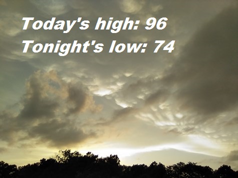
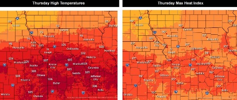
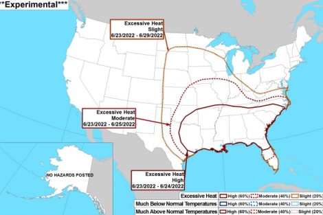
Dangerous heat has returned to today’s forecast, as the high may be near 96 today with a heat index of 105, according to the National Weather Service.
A heat advisory is in effect from 11 a.m. to 9 p.m. Thursday, the weather service said.
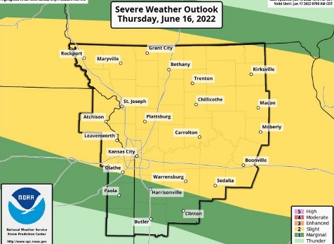
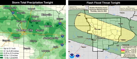
A few strong to isolated severe storms will be possible tonight, with the possibility of large hail and damaging winds, the weather service said. Flash flooding also is possible as storms may stall out. However, there is only a 20 percent chance of rain tonight, according to the forecast.
With a heat index as high as 105 today, residents are advised to drink plenty of fluids, stay in an air-conditioned room, stay out of the sun and check on relatives and neighbors, the weather service said.
Young children and pets should never be left unattended in vehicles.
Those who work or spend time outdoors are advised to reschedule strenuous activities to early morning or evening, the weather service said. They should wear lightweight and loose-fitting clothes when possible. Frequent rest breaks are recommended, and they should be in air-conditioning or in the shade. Anyone overcome by heat should be moved to a cool and shaded location, and 911 may be called.
Today, it will be sunny with a high near 96 and heat index as high as 105, the weather service said. A south southwest wind will be 7 to 9 mph.
Tonight, there is a 20 percent chance of showers and thunderstorms after 1 a.m., according to the weather service. It will be partly cloudy, with a low of 74 and a south southwest wind of 5 to 7 mph becoming east after midnight.
Friday, it will be mostly sunny, with a high near 96 and a heat index as high as 103, with a southeast wind around 7 mph, the weather service said.
Friday night, it will be mostly clear, with a low of 74 and an east southeast wind of 3 to 7 mph, according to the weather service.
Saturday, it will be sunny, with a high near 93 and a southeast wind of 5 to 8 mph, the weather service said.
Saturday night, it will be mostly clear, with a low of 72, according to the weather service.
Sunday, it will be sunny, with a high near 96, the weather service said.
Sunday night, it will be clear, with a low of 75, according to the weather service.
Monday, it will be sunny and hot, with a high near 98, the weather service said.
Monday night, it will be mostly clear, with a low of 78, according to the weather service.
Tuesday, it will be sunny and hot, with a high near 99, the weather service said.
Tuesday night, there is a 30 percent chance of showers, with a low of 76, according to the weather service.
Wednesday, it will be mostly sunny, with a high near 95, the weather service said.
For more weather information, visit www.weather.gov.