Cool and sunny day ahead

A cool and sunny day is in today’s forecast from the National Weather Service.

Temperatures at 8 a.m. were 41 degrees. Today’s high will be near 62.

A north northwest wind will be from 3 to 6 mph.

Tonight, look for mostly clear skies with a low around 46. A southeast wind will be 5 to 9 mph.

The temperature at 6 p.m. will be near 61 degrees, and by 9 p.m., it will be about 48 degrees, according to the forecast.

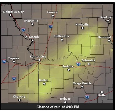
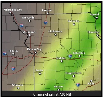
On Thursday, there is a 20 percent chance of isolated showers before 10 a.m. The forecast is sunny with a high near 67 for the rest of the day.

A south southwest wind from 9 to 16 mph will become north northwest in the afternoon. Winds could gust as high as 23 mph on Thursday.

On Thursday night, it will be mostly clear, with a low around 38. The wind will be north northwest from 9 to 14 mph with gusts up to 18 mph.

Friday’s forecast is sunny with a high near 45. The north wind will be 13 to 16 mph with gusts as high as 24 mph.

Friday night, expect widespread frost in the region after 3 a.m. The low will be around 29.

Saturday morning’s forecast includes widespread frost before 9 a.m. During the day, it will be mostly sunny with a high near 49.

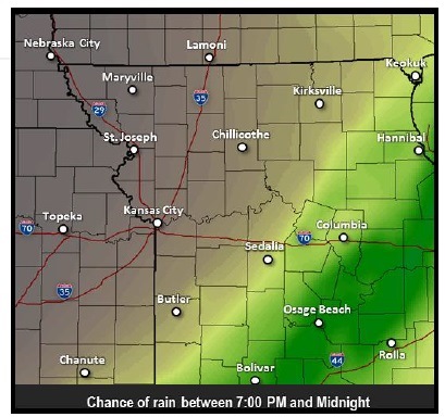
There is a 30 percent chance of showers on Sunday night.

Temperatures headed downward

National Weather Service graphic

7 p.m. tuesday

7-12 tuesday

National Weather Service graphics

Nighttime temperatures are moving downward, with patchy frost possible across areas of the region tonight, according to the National Weather Service.

In Kansas City, Kan., the temperature is expected to still be above freezing overnight with a low of 41 degrees, according to the weather service.

The cold front that is moving through the area could cause showers and thunderstorms to form in parts of the region, the weather service said. The best chance for the light rain is across southern and central Missouri, south of the Kansas City metropolitan area.

Today, skies will be sunny with a high of 63. The wind will be north northwest at 6 to 10 mph. The temperature was 53 degrees at 9 a.m. today.

Tonight, there will be mostly clear skies with the low of 41. A west northwest wind will be 5 to 10 mph, becoming light north northwest in the evening.

At 6 p.m. Tuesday, an hour before the World Series game starts at Kauffman Stadium, temperatures should be around 59 degrees, according to the weather service. At 9 p.m. temperatures may drop to 52 degrees.

Wednesday’s forecast is sunny with a high near 61, and a northwest wind of 3 to 6 mph.

On Wednesday night, expect mostly clear skies, with a low around 46. There will be a southeast wind of 3 to 6 mph.

For Thursday, it will be mostly sunny with a high near 67. The south wind will be around 9 mph, then changing to west northwest in the afternoon. Thursday night, expect mostly clear skies and a low of around 42.

Friday, it will be sunny and 54. Friday night, expect a patchy frost after 4 a.m. The low will be around 35. A hard freeze is possible for some areas of the region.

Rain is in the forecast for Sunday night, with a 40 percent chance.

Chance of rain returns to forecast

A slight, 20 percent chance of showers is in today’s forecast after 3 p.m., according to the National Weather Service.

Today’s high will be near 75 with partly sunny skies. The west southwest wind of 13 to 15 mph will gust as high as 22 mph.

Tonight, there is a 20 percent chance of showers before 10 p.m. The low will be 49.

Tuesday’s weather forecast is sunny with a high near 63. The west northwest wind will be 6 to 11 mph.

On Tuesday night, expect mostly clear skies, with a low around 40. The west northwest wind will be around 6 mph, becoming calm in the evening.

For Wednesday, the forecast calls for sunny skies and a high near 63. The calm wind will become south southwest around 5 mph in the afternoon. Wednesday night, skies will be partly cloudy with a low around 48.

On Thursday, expect mostly sunny skies with a high near 66. Thursday night, there will be mostly clear skies with a low of 43.