Temperatures may rise to 35 today

Temperatures may rise out of the freezer today with a high near 35 degrees, according to the National Weather Service.

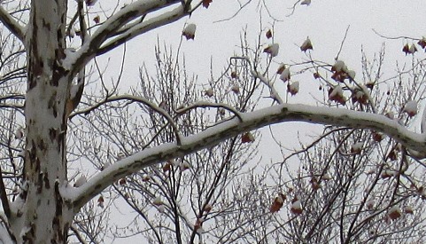
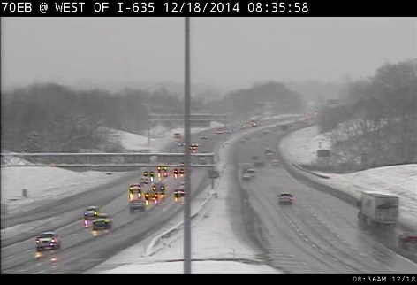
At 9 a.m., skies were cloudy, the temperature was 32 and there was fog or mist in some of the region.

Tonight, there may be patchy fog after midnight and a low around 30.

On Saturday, the warming trend continues. Expect patchy fog before 9 a.m., a high near 41, and a south wind of 7 mph. There will be mostly cloudy skies Saturday night with a low around 35.

Sunday, there is a chance of drizzle with a high near 46. The south wind will be 9 to 11 mph.

Sunday night, there is a 30 percent chance of rain with a low around 39.

Monday, rain is in the forecast with a high near 48. Monday night, expect rain with a low of 34.

Tuesday’s high will be near 40, and Tuesday night, the low will be around 28.

Wednesday, the forecast is mostly sunny with a high near 40. On Wednesday night, Christmas Eve, skies will be partly cloudy with a low of 29.

On Thursday, Christmas Day, the forecast calls for partly sunny skies and a high near 40. At this time, there is no snow or rain in the forecast for Christmas Eve and Christmas Day.

Blanket of snow covers Wyandotte County

Snow fell overnight in Wyandotte County.
Snow fell overnight in Wyandotte County. (Staff photo)

About 2 to 4 inches of snow fell overnight in Wyandotte County.

As a winter weather advisory ends this morning, there is still the chance of more snow and freezing drizzle before 3 p.m., according to the National Weather Service. Motorists are advised to be careful.

Then there is a chance of drizzle between 3 p.m. and 4 p.m. today.

The temperature was 30 degrees at 9 a.m. Thursday, and the high will be near 33 today.

Tonight, there will be cloudy skies with a low around 27.

Friday’s forecast is cloudy with a high near 37. East southeast winds around 6 mph will become calm in the afternoon. On Friday night, it will be mostly cloudy with a low near 30.

Saturday’s forecast is partly sunny with a high near 39. Saturday night, the low will be around 33.

Sunday’s high will be near 45, and Sunday night, there is a 30 percent chance of rain, with a low around 38.

Motorists made their way to work this morning at I-70 near I-635 in Wyandotte County. (KC Scout photo)

I-70 east at 7th Street in Kansas City, Kan., is seen in this KC Scout photo.

A backyard scene in Wyandotte County. (Staff photo)

Estimated snow totals for Wednesday night and Thursday. (National Weather Service graphic)

Snow in tonight’s forecast

Accumulating snow. (National Weather Service graphic)

Snow is in the forecast for late Wednesday evening through Thursday morning, according to the National Weather Service.

Amounts of snow may range from 1 to 3 inches, with 2 to 3 inches expected across the Kansas City area, the weather service said. Isolated pockets may receive 4 inches of snow.

Most of the snow is expected to fall between midnight and 6 a.m. in a fast-moving storm, according to the weather service.

As the snow winds down, light freezling drizzle may occur during the day Thursday, the weather service said.

The winter weather advisory for light snow and freezing drizzle will be in effect from 6 p.m. tonight to 9 a.m. Thursday.

Because light snow will likely accumulate on roadways, causing them to be slick, and freezing drizzle will cause a glazing of ice, drivers are advised to be very careful in their early morning commutes on Thursday, the weather service said.

Today’s high will be near 34, while tonight’s low will be around 28.

Thursday’s high is expected to be near 35, and there may be freezing drizzle before noon. Thursday night, the low will be around 28 and there is a chance of drizzle or freezing drizzle.

Friday, it will be cloudy with a high near 37. Friday night, the skies will be mostly cloudy with a low of 28.

Saturday, the forecast is partly sunny, with a high near 39. Saturday night, the low will be around 30.

On Sunday, expect partly sunny skies and a high near 44. Sunday night, mostly cloudy with a low of 35.

Monday’s forecast is partly sunny, a high near 46, and a 30 percent chance of rain. Monday night, a 30 percent chance of rain, with a low around 36.

Tuesday, it will be partly sunny with a high near 43.

Winter weather advisory tonight through Thursday morning. (National Weather Service graphic)