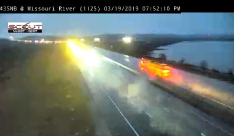
Authorities are continuing to monitor the rivers as Missouri River flooding continues to the north of the Kansas City area.
The Missouri River, currently in action stage at Kansas City, is anticipated to crest on Friday in the Kansas City area. The current level is 29.37 feet at 7:30 p.m. Tuesday, March 19, and it is anticipated to crest at 31.9 feet on Friday. Flood stage is 32 feet. This river gauge is located just south of the downtown Kansas City, Missouri, airport, a little east of the state line. The river was not expected to go into flood stage at this time.
On Tuesday, the National Weather Service added the Kansas River in the Armourdale area, at the Kansas-Missouri state line at Kansas Avenue, to the list of flood warnings for Thursday. The location is called the Kansas River, 23rd Street, and directly to the east is the American Royal area in Kansas City, Missouri.
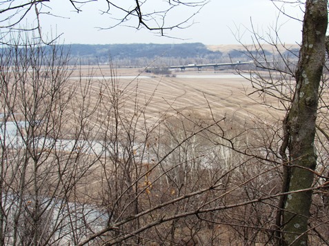
The Missouri River at Parkville, Missouri, across from Kansas City, Kansas, on the north side, remains at moderate flood stage, and is expected to crest on Thursday and Friday, according to the weather service charts. This gauge is located in Parkville, to the north of Wyandotte County.
Edwin Birch, a spokesman for the Unified Government, said that the Wyandotte County emergency management office is continuing to monitor the river levels here.
Today, Army Corps of Engineers officials stated that Fort Randall water releases upstream were being held at zero, while Gavins Point dam releases in South Dakota were declining. Releases from Gavins Point dam were reduced this morning and this evening, and are now at 33,000 cubic feet per second.
A significant amount of rain and melted snow entered the Missouri River to the north, leading to the flooding.
Many levees below Omaha have breached or overtopped, according to officials, and there is widespread flooding along the Missouri River in Nebraska and Iowa.
In the Kansas City district of the Corps of Engineers, levees have overtopped in Holt County, Platte County and in southern Buchanan County in Missouri, according to officials. Five non-federal levees are considered to be at significant risk for overtopping but are still performing as they should, according to officials.
So far, the Kansas City district has issued 470,000 sandbags, with 60,000 issued to Holt County in the past 24 hours, according to officials. The district still has 3.6 million sandbags available if needed. The district also is deploying personnel to assist levee operators.
Parts of the Missouri RIver upstream from Kansas City now are closed to river traffic because of the flood, according to authorities.
Officials said a risk of flooding from melted snow upstream and rainfall also exists around the end of March or beginning of April.
According to officials, the river level forecasts are subject to change each day depending on factors such as water releases upstream, water flowing into tributaries and rainfall.