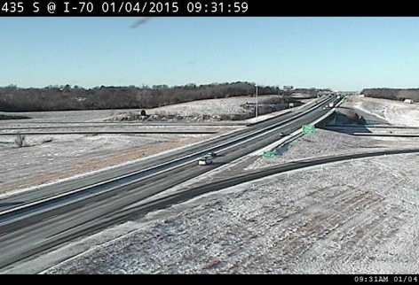
Wyandotte County received a light dusting of snow overnight, perhaps about a half-inch to an inch in some places, but it is the temperature that poses the main danger to residents.
The temperature was 12 degrees at 10 a.m., with a wind chill of minus 5, according to the National Weather Service. While most highways appear to be clear, there is still the possibility of slick spots.
A hazardous weather outlook was issued for the very cold temperatures and wind chills.
Today’s high will be near 16, with winds of 9 to 15 mph gusting to 22 mph.
Tonight, the low will be about 4 degrees, with a wind chill of minus 4 and 1. Winds will be 5 to 9 mph becoming light north after midnight.
Monday’s forecast is mostly sunny, with a high near 24. Wind chill values will be minus 3 to 7.
Look for temperatures to drop further into the deep freeze on Wednesday, when the high will be about 9, and the wind chill may drop to below minus 10, according to the weather service.