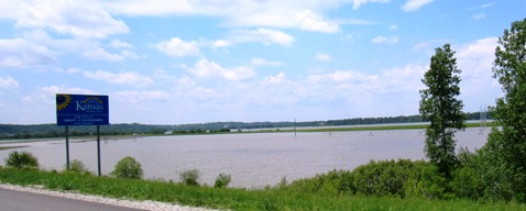
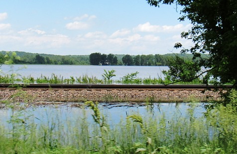
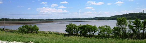
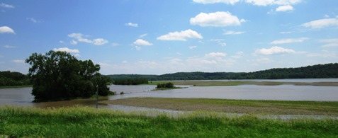
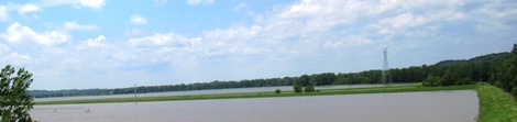
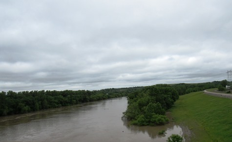
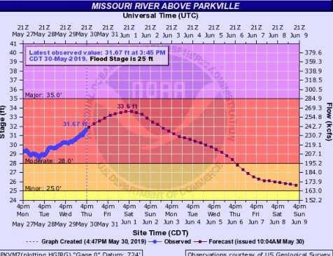
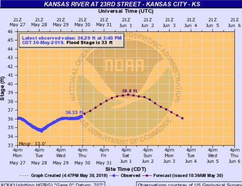
With the Missouri River at moderate flooding and the Kansas River at minor flooding in Wyandotte County, water releases are increasing from reservoirs upstream.
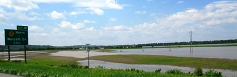
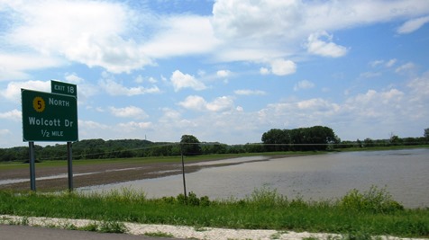
The levees have overtopped again within the past few days at the Wolcott area of Kansas City, Kansas, on the Missouri River, near I-435.
Releases from Gavins Point Dam in South Dakota were increased to 70,000 cubic feet per second on Wednesday, and will go up again to 75,000 cfs on Saturday, according to John Remus, chief of the Missouri River Basin Water Management Division.
The releases are being increased because of high runoff into the upper Missouri River, according to Corps officials. The runoff is from rains in the past five days of 1 to 4 inches in South Dakota and Nebraska.
According to the Corps of Engineers, runoff for May above Sioux City, Iowa, has been more than 7.5 million acre feet, compared to the average of 3.3 million acre feet. Some reservoirs are in the exclusive flood control zone, with little space left for additional runoff water, according to officials.
Flows from Garrison Dam were reduced to 15,000 cfs to offset some of the high flows entering the system from Garrison to Gavins Point, according to Corps officials.
Reservoirs upstream on the Kansas River, which flows into the Missouri River at Kansas City, Kansas, also are near the top, according to officials.
Water releases were increased Wednesday from Tuttle Creek Dam, near Manhattan, Kansas, where 15,000 cfs were being released into the river. The releases were increased to 25,000 on Wednesday night, and will step up to 27,500 cfs later this afternoon and evening, according to Corps officials.
Milford and Clinton lake water releases are being kept to low flow because of the flooding on the Missouri River, Corps officials said.
About 10,000 cfs that has been released from Lake Perry since Sunday is now in the Missouri River, according to officials.
The water releases are timed for a period when not much rainfall is expected.
The weather forecast does not have any large amount of rain for the next few days in the Missouri River Basin, according to a National Weather Service forecaster. Some light rain is possible Sunday through Monday in Kansas, widespread activity is predicted in a five-state area including Kansas from Monday to Tuesday, and heavy rain returns to Missouri Wednesday to Thursday, according to forecasters.
The water releases are being factored into the current hydrologic predictions for the rivers, according to officials.
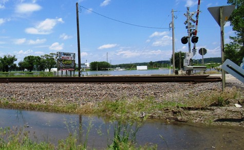
According to Corps officials, 31 levees have overtopped in the region since May 22. That includes three in the last 24 hours, including two on the Grand River and one in Saline County, Missouri, officials stated.
In all, since the spring flooding started in March 13, there have been about 45 separate levees that have been damaged by flooding, Corps officials stated.
Corps officials said that 800,000 sandbags have been issued in the last week in Kansas and Missouri, with 22 pumps and three automatic sandbag machines, as well as barriers. There are more requests for automatic sandbag machines than are available.
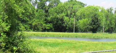

The former Go-Cart track has actually been full of water since the last flood earlier this spring. There is nowhere for that water to flow. The ducks have been enjoying their new pond.