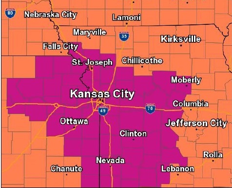
An excessive heat warning remains in effect for Wyandotte County and areas along and south of the Missouri River, according to the National Weather Service. This includes the entire Kansas City metro for today.
Today’s high will be near 96 with a heat index of 106, the weather service said. A south wind of 10 to 15 mph may gust as high as 22 mph.
Residents are advised to drink plenty of water, stay in an air-conditioned room, stay out of the sun, and check on elderly relatives and neighbors, according to the weather service. Children and pets should never be left unattended in cars.
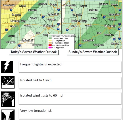
Isolated severe storms will be possible late this afternoon and evening as a cold front moves across the area, the weather service said. Large hail and damaging winds will be the main threats with this activity.
Moderate river flooding will continue along the Missouri River from Nebraska City down through St. Joseph, Missouri, according to the weather service. This will cause flooding in low-lying rural areas along the river not protected by levees. Minor flooding is expected further downstream with little impact as of now, though conditions will need to be monitored, the weather service said. Atchison, Kansas, is currently in minor flood stage, and Leavenworth, Kansas, is in the action stage. In Wyandotte County, the rivers are not near flood stage.
Tonight, there is a 60 percent chance of showers and thunderstorms, mainly after 1 a.m., according to the weather service. The low will be around 74 with a south wind of 9 to 14 mph, gusting as high as 20 mph. Between a half and three-quarters of an inch of rain is possible.
Sunday, there is a 30 percent chance of showers and thunderstorms, with a high near 88 and a south southwest wind of 6 to 8 mph, becoming west in the afternoon, the weather service said. Between a tenth and quarter-inch of rain is possible.
Sunday night, the low will be around 71 with a northwest wind of 6 mph becoming light and variable in the evening, according to the weather service.
Monday, it will be sunny with a high near 92 and an east southeast wind of 3 to 6 mph, the weather service said.
Monday night, the low will be around 74 with partly cloudy skies, according to the weather service.
Tuesday, it will be mostly sunny with a high near 94, the weather service said.
Tuesday night, skies will be mostly clear with a low of 76, according to the weather service.
Wednesday, Independence Day, skies will be mostly sunny with a high of 93, the weather service said.
Wednesday night, the low will be around 75, according to the weather service.
Thursday, it will be sunny with a high of 94, the weather service said.
Thursday night, the low will be around 74 with mostly clear skies, according to the weather service.
Friday, it will be mostly sunny with a high near 93, the weather service said.