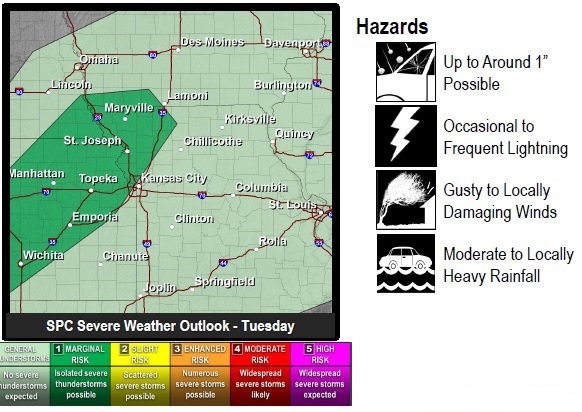
According to the National Weather Service, storms are possible tonight. Primary hazards include gusty to possibly locally damaging winds and hail.
Today’s high will be near 72 with partly sunny skies. A south southeast wind will be 11 to 20 mph, gusting as high as 34 mph, according to the weather service.
There is an 80 percent chance of showers and thunderstorms tonight, mainly before 4 a.m., the weather service said. The low is around 51, and a south wind of 11 to 21 mph will become west southwest after midnight. Winds may gust up to 33 mph. About a quarter to a half-inch of rain is possible.
A cold front responsible for the stormy weather will move through the forecast area overnight, exiting by Wednesday morning, according to the weather service. Breezy conditions return Wednesday.
Wednesday, skies will be mostly sunny with a high near 62, the weather service said. A northwest wind will be from 13 to 23 mph, gusting as high as 33 mph.
Wednesday night, it will be partly cloudy with a low of 42, according to the weather service. A northwest wind of 12 to 17 mph will become west 6 to 11 mph after midnight. Winds may gust as high as 26 mph.
Thursday, it will be sunny with a high near 65, the weather service said. A northwest wind of 9 to 14 mph will increase to 18 to 23 mph in the afternoon, with winds gusting as high as 31 mph. Thursday night’s low will be around 38.
Friday, it will be sunny with a high near 60, according to the weather service, and Friday night, it will be mostly clear with a low of 33.