Isolated to scattered showers and thunderstorms moved through Wyandotte County this morning and are possible this afternoon.
The worst of the storms may have already moved through Wyandotte County, but it has been raining off and on, with the latest heavy rain about 9:55 a.m.
The threat of severe weather is low, the National Weather Service said.
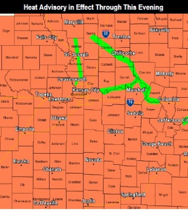
A heat advisory is in effect through 9 p.m. today, according to the weather service.
Hot and humid weather is expected this afternoon, the weather service said. The high will be near 94, with a heat index as high as 102, according to the weather service.
Thunderstorm chances return tonight and Sunday, the weather service said.
Severe storms are possible Sunday as a front slides south through the area, according to the weather service. Locally heavy rain and additional flooding are possible as well, forecasters said.
The main hazards with storms on Sunday are winds and flooding, the weather service said. While the threat of a tornado Sunday is very low, it can’t be ruled out at this point, according to the weather service. Small hail is also possible.
For more weather information, visit www.weather.gov/eax/.