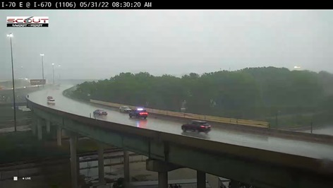
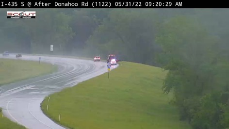
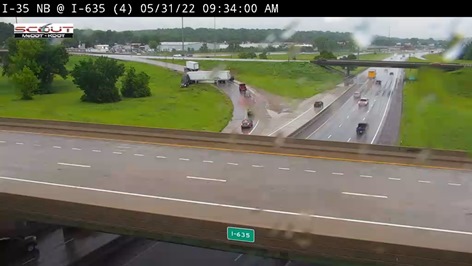
Update: The National Weather Service has updated the flood advisory to a flood warning for Wyandotte County and surrounding counties. The flood warning is in effect through 2 p.m. Tuesday. Motorists are advised to turn around and not try to go through flooded roads.
Heavy rains came down on Wyandotte County on Tuesday morning, and the area is under a flood advisory from 7:58 a.m. through 2 p.m. Tuesday, according to the National Weather Service.
The advisory is for urban and small stream flooding in Wyandotte County, along with Johnson, Leavenworth and Atchison counties in Kansas and Buchanan, Caldwell, Carroll, Clay, Clinton, Jackson, Platte and Ray counties in Missouri, the weather service said.
Minor flooding in low-lying and poor drainage areas as been reported, with a total of 2.5 inches to 4.5 inches of rain, according to the weather service.
New rains may develop this afternoon and evening, the weather service said. Rain may continue on Wednesday.
Motorists are advised to turn around when encountering flooded roads, and go in another direction, the weather service said. Most flood deaths occur in vehicles.
The area also is under a flood watch through 7 a.m. June 1, according to the weather service.
The storm this morning also included lightning and high winds.
A check of the hydrology charts from the National Oceanic and Atmospheric Administration showed that the Missouri and Kansas rivers were well below flood stage in Wyandotte County as of 8:50 a.m. Tuesday.
Turkey Creek at Southwest Boulevard was at 51.79 feet at 8:30 a.m. Tuesday, where action stage is 55 feet and flood stage is 61 feet, according to the hydrology charts. Brush Creek in Kansas City, Missouri, was in the action stage at 42.96 feet at 8:15 a.m. Tuesday, where minor flood stage is 47 feet, according to the hydrology charts.
Stranger Creek at Easton, Kansas, was at 16.38 feet at 7:30 a.m. Tuesday, where flood stage is 17 feet, according to hydrology charts. Stranger Creek was projected to reach 18.3 feet, moderate flood stage, on Tuesday morning, according to the chart.
K-5 in Leavenworth County was closed because of flooding from Eisenhower Road to East Mary Street in the Lansing area, according to KDOT. It will reopen when waters recede.
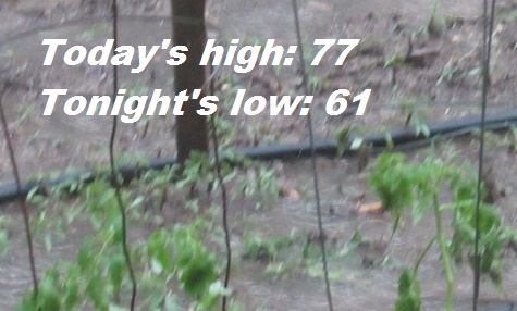
Today, there is a 70 percent chance of showers and thunderstorms, mainly after 3 p.m., the weather service said. Some of the storms could produce heavy rain. The high will be near 77 with a southeast wind of 5 to 10 mph becoming west northwest in the afternoon. Winds may gust as high as 21 mph. Between three-quarters and one inch of rain are possible.
Tonight, there is a 60 percent chance of sshowers and thunderstorms, mainly before 8 p.m., according to the weather service. The low will be around 61 with a north wind of 5 to 7 mph. Between a quarter and half-inch of rain are possible.
Wednesday, there is a 50 percent chance of showers and thunderstorms, with a high near 68, the weather service said. A north northeast wind of 9 mph will gust as high as 18 mph. Between a tenth and quarter-inch of rain are possible.
Wednesday night, there is a 50 percent chance of showers and thunderstorms before 4 a.m., then a slight chance of showers, according to the weather service. The low will be around 53 with a north wind of 5 to 7 mph, gusting as high as 18 mph. Between a tenth and quarter-inch of rain are possible.
Thursday, it will be sunny, with a high near 73 and a north wind of 6 mph, the weather service said.
Thursday night, it will be mostly clear, with a low of 52, according to the weather service.
Friday, it will be sunny, with a high near 78, the weather service said.
Friday night, it will be mostly clear, with a low of 58, according to the weather service.
Saturday, there will be a 40 percent chance of showers, with a high near 78, the weather service said.
Saturday night, there is a 60 percent chance of showers and thunderstorms, followed by more showers and possibly a thunderstorm after 1 a.m., according to the weather service. The low will be around 63.
Sunday, there is a 40 percent chance of showers, with a highi near 79, the weather service said.
Sunday night, there is a 40 percent chance of showers and thunderstorms, with a low of 64, according to the weather service.
Monday, it will be partly sunny, with a high near 83, the weather service said.