Hail in Wyandotte County
Serving Kansas City (Wyandotte County) Kansas for over 50 years!
The severe thunderstorm warning has been extended until 9:45 p.m. Thursday for western Wyandotte County, according to the National Weather Service.
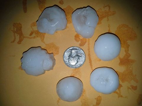
Quarter-sized hail was falling in Wyandotte County about 9:07 p.m., with lightning.
Residents were advised to stay inside in the lowest floor of the building, in an interior room.
A tornado watch remains in effect until 10 p.m.
The National Weather Service has issued a severe thunderstorm warning for western Wyandotte County until 9 p.m.
Also under the warning are Leavenworth and Johnson counties.
At 8:19 p.m., a severe thunderstorm was located over Gardner, Kan., moving north at 30 mph, the weather service said.
Hail damage to vehicles is expected. Expect wind damage to roofs, siding and trees.
Bonner Springs, Basehor, Edwardsville, Lake Quivira, Kansas City, Kansas, Fairmount, Muncie, Maywood and Piper are among the areas in the path of the storm.
Residents are advised to move to an interior room on the lowest floor of a building, the weather service said.
A tornado watch remains in effect until 10 p.m. for northeastern and east central Kansas.
For more information, visit www.weather.gov.